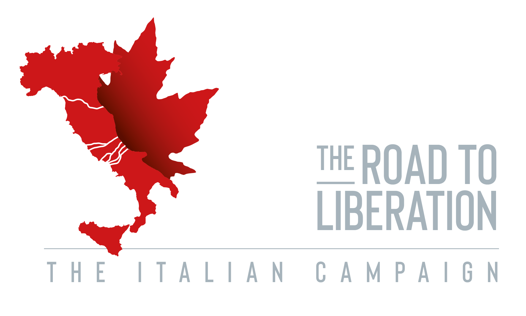
The North West Europe Campaign.
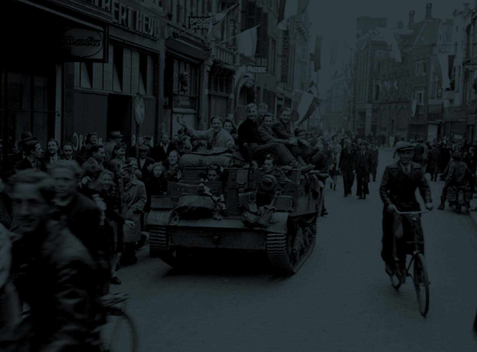
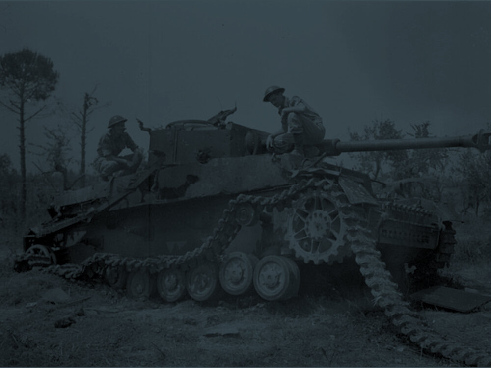
By 1944, Canada had been at war for more than five long years. In Italy the soldiers of I Canadian Corps were fighting the Germans in a slow advance up the Italian peninsula. In North-West Europe, the soldiers of II Canadian Corps had fought the German Army since DDay, and had helped to destroy the German Seventh Army at the closing of the Falaise Gap.
By September of 1944, the Germans were in full on retreat. The British, Polish and Canadian divisions along with II Canadian Corps were under command of General Crerar in First Canadian Army, and made up the left flank of Field Marshall Montgomery’s 21st Army Group. Numbering over 250,000 soldiers, the First Canadian Army would be charged with clearing the Channel Ports near the Pas de Calais in France and opening up the Scheldt Estuary in the Netherlands.
By the winter of 1944, First Canadian Army was dug in along the Maas River all the way to the Groesbeek Heights overlooking Germany. The winter was used to train and plan for the break into Germany. By February of 1945 First Canadian Army was once again on the attack, breaking through the Reichwald Forest, onto the Hochwald Gap, before bouncing the Rhine River and forcing a Crossing into Germany.
By April 1945, I Canadian Corps was reunited with First Canadian Army, and together both I and II Canadian Corps rapidly liberated The Netherlands.
With the launch of phase 2 of Project ’44, you can now follow the units of the First Canadian Army as they fought from DDay to VEDay on Canada’s Road to Liberation.
Project’44 - The Road to Liberation is an online web map that will let you explore WW2 like never before. Digitally preserved maps, aerial imagery and war diaries have been used to map out the Allied advance from the landings at DDay to the celebrations of VEDay.
COMING 2021
Partners
Over the past 2 years the Canadian Research and Mapping Association has been digitally preserving maps from Regimental museums and archives.
Aerial imagery of the Normandy front taken in 1946 is being supplied by IGN - Institute National de L’information Geogaphique et Forestiere.
Partnering with Library and Archives Canada all First Canadian Army (FCA) war diaries 1939-1945 are being digitized, and will be available on the web map.
Project ‘44 is funded in part by Veterans Affairs Canada. Together we thrive in the preservation and commemoration of Canadian Military History.